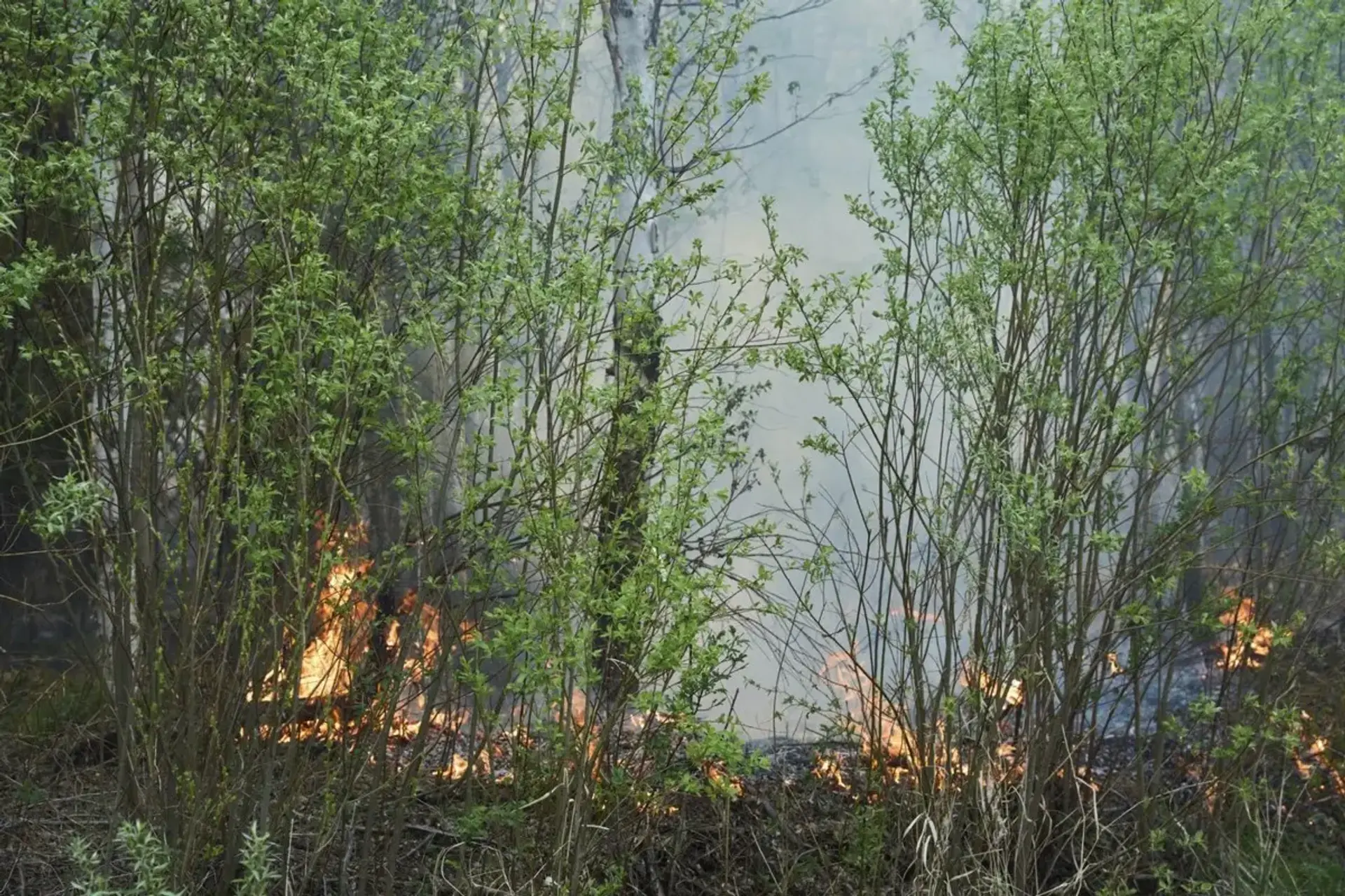
Researchers are using satellite imagery and artificial intelligence to identify regions susceptible to extreme wildfires. A recent study analysed Manitoba's devastating wildfire season, revealing that climate anomalies, such as minimal winter snowfall and spring rain, led to parched soil and vegetation.
Scientists used data from NASA, the European Space Agency, and the Canadian Drought Monitor to pinpoint irregularities in snow coverage, precipitation, temperature, and soil moisture. The overlapping climate factors created a synergistic effect, preconditioning the environment for ignition. While Canada uses satellite data, the federal government plans to launch WildFireSat in 2029, consisting of seven satellites to monitor active fires daily. This will allow officials to determine the most dangerous fires and predict their behaviour.
AI and machine learning enhance wildfire intelligence by analysing datasets in real-time and identifying patterns indicative of fire risk. These systems generate fire spread predictions and optimise resource allocation for firefighting efforts. Satellite-based wildfire detection can detect fires in remote areas and provide a comprehensive view of fire activity across entire regions.
Related Articles

AI Predicts Hospital Admissions
Read more about AI Predicts Hospital Admissions →
AI Disruption Triggers Investor Flight
Read more about AI Disruption Triggers Investor Flight →
AI Reshapes Search Landscape
Read more about AI Reshapes Search Landscape →
AI Reshapes Job Landscape
Read more about AI Reshapes Job Landscape →
